
Old photos · Netherlands
Old photos of Amsterdam
Many of Amsterdam's photographs are titled with a street and a house number, the way the city's own archive records them, so they can be matched door by door — from the harbour of the 1850s to the 1980s, its busiest decade.
Time Portal's archive holds about 19,000 photographs of Amsterdam, taken between 1855 and 2000, each pinned to the spot where the photographer stood. 59% of them date from 1955 or later and are free to browse at map.timeportal.app with no account; the older ones open with Pro. The oldest, dated 1855 in the archive, shows the canal-side houses at Oude Turfmarkt 149–153.
- Photographs
- 19,000
- Oldest
- 1855
- Busiest decade
- 1980s
- Free, 1955 on
- 59%
How many photographs, decade by decade
The busiest decades for Amsterdam are the 1980s and the 1970s — 2,911 and 2,678 photographs. 1,510 were taken before 1900. Everything from 1955 onward is free to open on the map; the older photographs are part of Pro.
| Decade | Relative size | Photographs |
|---|---|---|
| before 1860 | 45 | |
| 1860s | 230 | |
| 1870s | 159 | |
| 1880s | 292 | |
| 1890s | 784 | |
| 1900s | 1,173 | |
| 1910s | 838 | |
| 1920s | 886 | |
| 1930s | 1,299 | |
| 1940s | 1,036 | |
| 1950s | 2,617 | |
| 1960s | 2,255 | |
| 1970s | 2,678 | |
| 1980s | 2,911 | |
| 1990s | 1,332 |
Where the photographs were taken
Counted in a small square around each place — about 150 metres each way — so a number is every photograph taken there, of the place itself or of the street beside it. Each place opens the map on that spot.
| Place | Photos | Oldest |
|---|---|---|
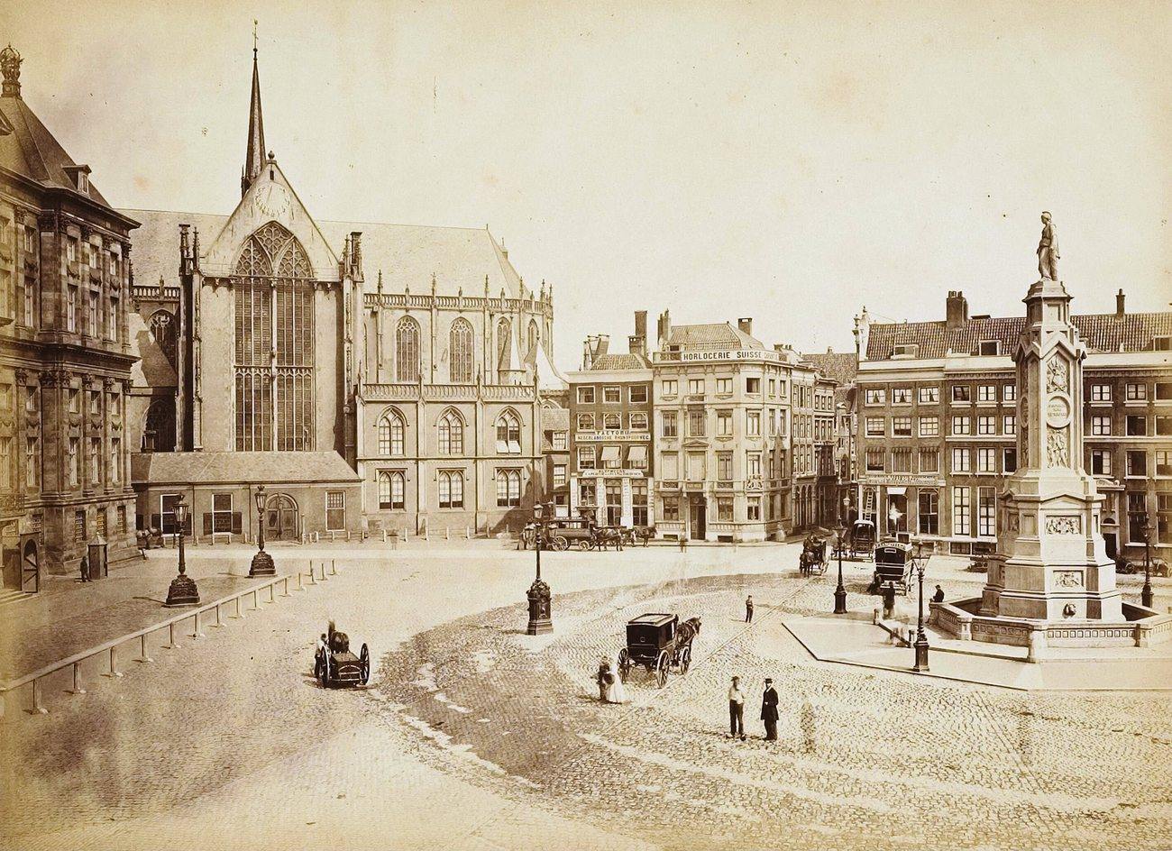
| Dam Square and the Royal Palace | 3,106 | 1858 |
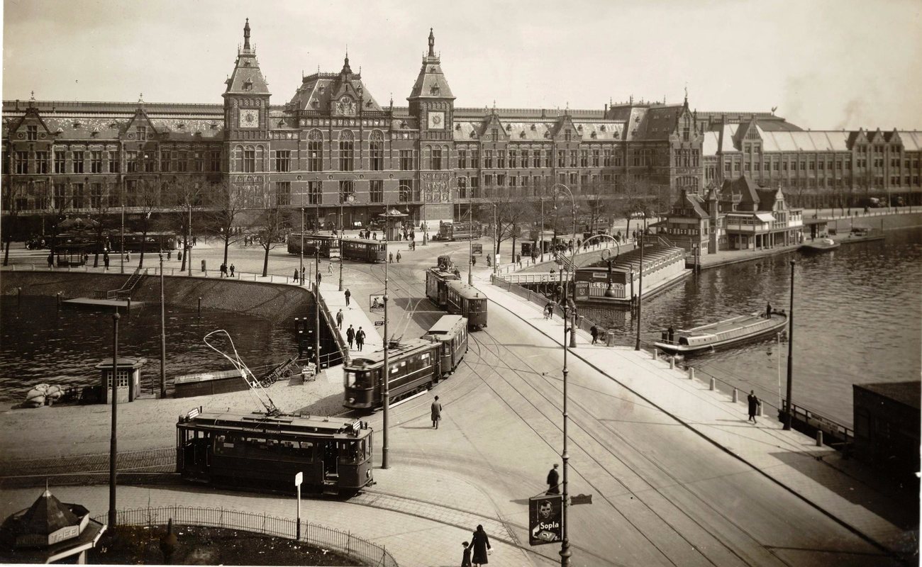
| Centraal Station | 177 | 1860 |
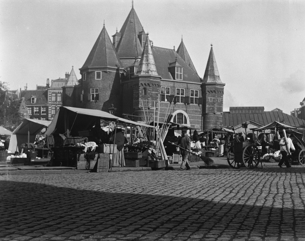
| Nieuwmarkt and the Waag | 919 | 1864 |
| Muntplein and the Munttoren | 897 | 1860 |
| Waterlooplein | 830 | 1860–1865 |
| The Westerkerk and the Prinsengracht | 72 | 1857 |
What changed
Amsterdam kept its seventeenth-century ring of canals, but not all of its water. In the second half of the nineteenth century several canals were filled in to make streets — the Nieuwezijds Voorburgwal and the Rozengracht among them — and Centraal Station was built on artificial islands in the IJ, opening in 1889 and cutting the old harbour front off from the water.
The war emptied the Jewish quarter around Waterlooplein: most of its people were deported and murdered, and in the hunger winter of 1944–45 many of the empty houses were stripped for firewood. From the 1960s much of what was left was cleared for new roads and the metro, until the protests that ended in the Nieuwmarkt riots of 1975 turned the city towards restoring its old centre instead.
Questions about old photos of Amsterdam
Where can I see old photos of Amsterdam on a map?
On Time Portal: about 19,000 photographs of Amsterdam, each pinned where it was taken, most with the direction the camera faced. The map is free in any browser at map.timeportal.app — photographs from 1955 on need no account — and there is an app for iPhone and iPad.
What is the oldest photograph of Amsterdam in the archive?
The oldest precisely dated photograph, from 1855, shows the canal-side houses at Oude Turfmarkt 149–153. 1,510 of the Amsterdam photographs were taken before 1900.
Which years of Amsterdam are best covered?
The 1980s, with 2,911 photographs, and the 1970s, with 2,678. 59% of the Amsterdam photographs date from 1955 or later.
Open Amsterdam on the map
Other cities: Moscow, Saint Petersburg, Kyiv, New York, Berlin, Paris, Nizhny Novgorod, Prague, Yekaterinburg, Kazan, Stockholm, Vyborg, Kaliningrad, Tbilisi, Tashkent, Odesa, Samarkand, Riga, Rome, Minsk, London, Volgograd, Tallinn. Or search any address on the map, or in the app.
The counts on this page are free to reuse under CC BY 4.0 — credit Time Portal and link here. The photographs are not ours to license: they belong to their photographers and the archives that keep them.