
Old photos · Sweden
Old photos of Stockholm
By far its busiest decade is the 1960s, the years the old Klara quarter of Norrmalm was being cleared for a new city centre — and it begins in 1846, looking across the water from the heights of Södermalm.
Time Portal's archive holds about 12,000 photographs of Stockholm, taken between 1846 and 2000, each pinned to the spot where the photographer stood. 41% of them date from 1955 or later and are free to browse at map.timeportal.app with no account; the older ones open with Pro. The oldest, dated 1846 in the archive, shows Ladugårdslandet — today's Östermalm — seen across the water from Mosebacke, with Skeppsholmen on the right.
- Photographs
- 12,000
- Oldest
- 1846
- Busiest decade
- 1960s
- Free, 1955 on
- 41%
How many photographs, decade by decade
The busiest decades for Stockholm are the 1960s and the 1900s — 3,217 and 1,814 photographs. 1,372 were taken before 1900. Everything from 1955 onward is free to open on the map; the older photographs are part of Pro.
| Decade | Relative size | Photographs |
|---|---|---|
| before 1860 | 5 | |
| 1860s | 46 | |
| 1870s | 24 | |
| 1880s | 461 | |
| 1890s | 836 | |
| 1900s | 1,814 | |
| 1910s | 782 | |
| 1920s | 559 | |
| 1930s | 589 | |
| 1940s | 832 | |
| 1950s | 1,488 | |
| 1960s | 3,217 | |
| 1970s | 540 | |
| 1980s | 165 | |
| 1990s | 106 |
Where the photographs were taken
Counted in a small square around each place — about 200 metres each way — so a number is every photograph taken there, of the place itself or of the street beside it. Each place opens the map on that spot.
| Place | Photos | Oldest |
|---|---|---|
| The Royal Palace | 394 | 1866–1869 |
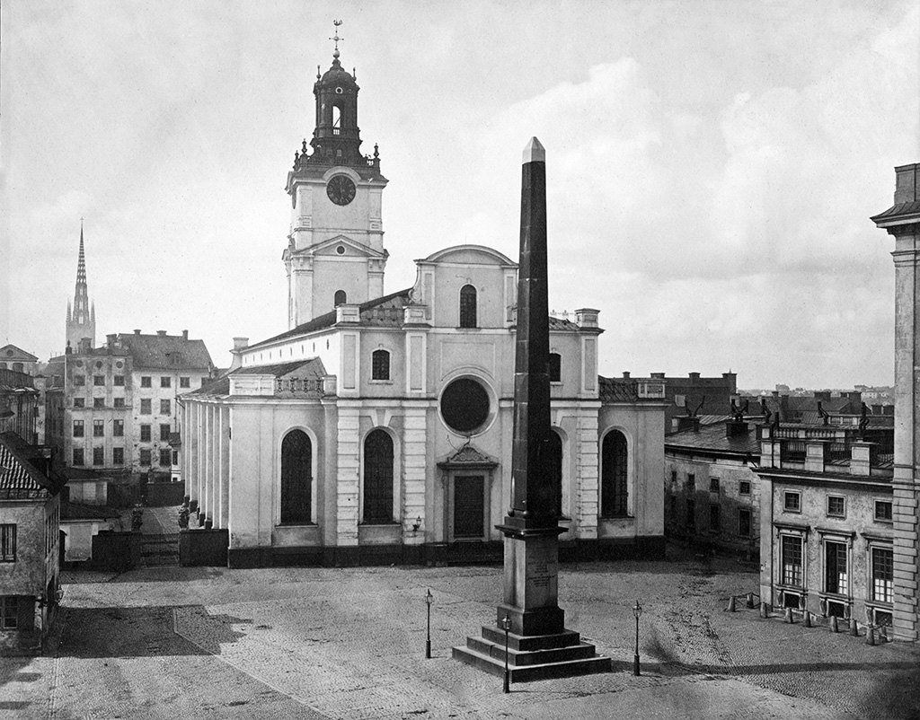
| Stortorget | 379 | 1894 |
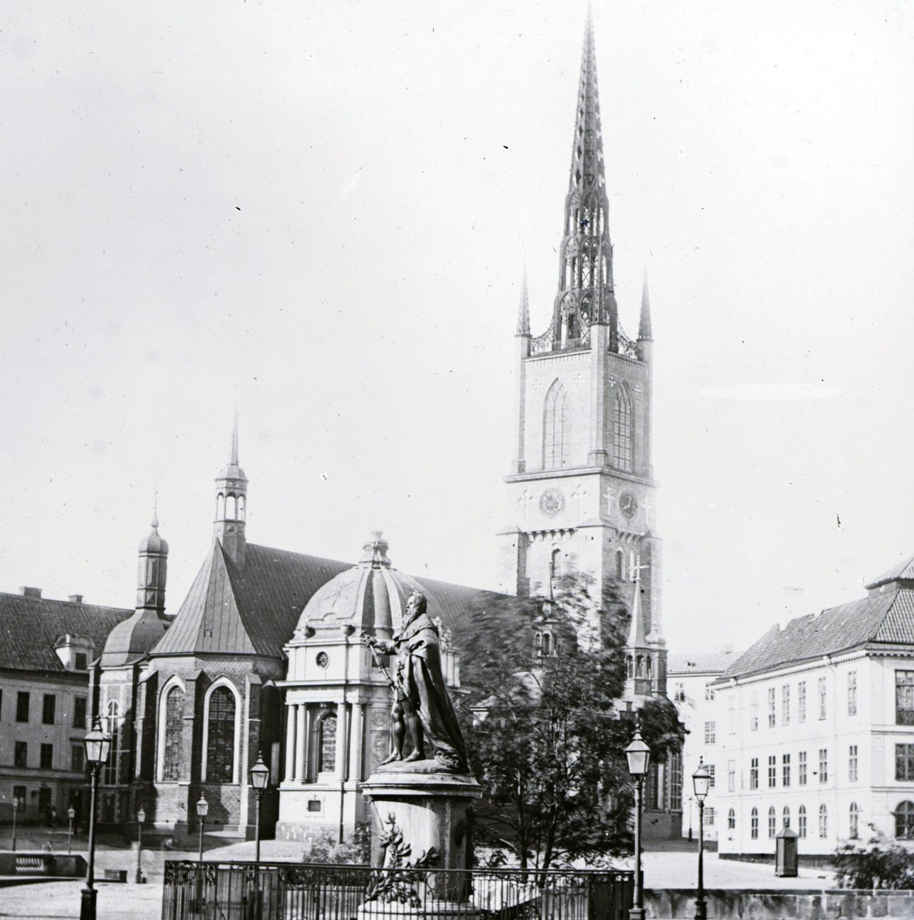
| Riddarholmen | 219 | 1862 |
| The City Hall | 90 | 1890 |
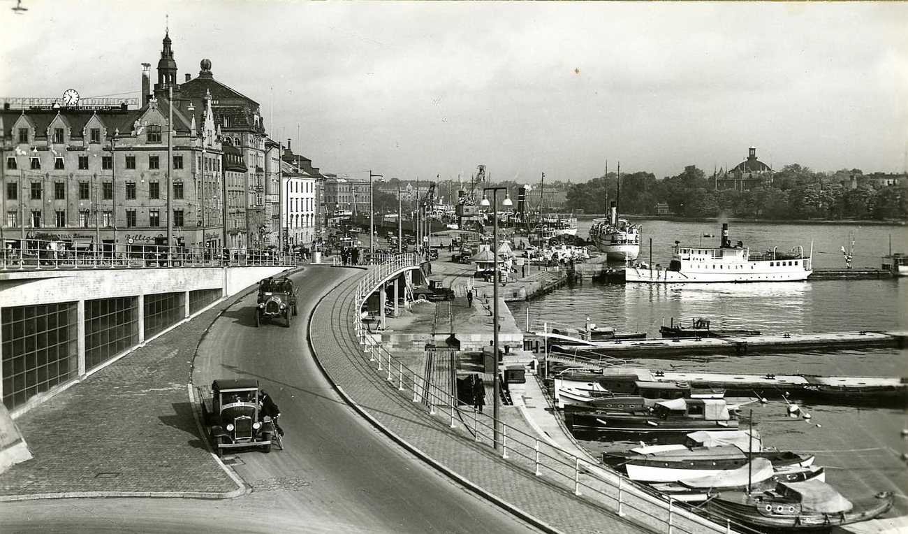
| Slussen | 256 | 1846 |
| Hötorget and Sergels torg | 874 | 1882–1886 |
What changed
Stockholm was never bombed, and Gamla stan, the old town around the Royal Palace, looks much as it did in the earliest photographs. The City Hall on Kungsholmen, its tower over Riddarfjärden, was finished in 1923, and Slussen, the lock and road junction between Gamla stan and Södermalm, was rebuilt as a cloverleaf of ramps in 1935.
The city's biggest change was one it chose. From the 1950s to the 1970s most of the old Klara quarter in lower Norrmalm was demolished for a new commercial centre around Sergels torg, with the five Hötorget towers rising beside it.
Questions about old photos of Stockholm
Where can I see old photos of Stockholm on a map?
On Time Portal: about 12,000 photographs of Stockholm, each pinned where it was taken, most with the direction the camera faced. The map is free in any browser at map.timeportal.app — photographs from 1955 on need no account — and there is an app for iPhone and iPad.
What is the oldest photograph of Stockholm in the archive?
The oldest precisely dated photograph, from 1846, shows Ladugårdslandet — today's Östermalm — seen across the water from Mosebacke, with Skeppsholmen on the right. 1,372 of the Stockholm photographs were taken before 1900.
Which years of Stockholm are best covered?
The 1960s, with 3,217 photographs, and the 1900s, with 1,814. 41% of the Stockholm photographs date from 1955 or later.
Open Stockholm on the map
Other cities: Moscow, Saint Petersburg, Kyiv, New York, Berlin, Paris, Amsterdam, Nizhny Novgorod, Prague, Yekaterinburg, Kazan, Vyborg, Kaliningrad, Tbilisi, Tashkent, Odesa, Samarkand, Riga, Rome, Minsk, London, Volgograd, Tallinn. Or search any address on the map, or in the app.
The counts on this page are free to reuse under CC BY 4.0 — credit Time Portal and link here. The photographs are not ours to license: they belong to their photographers and the archives that keep them.