Old photos · Russia
Old photos of Vyborg
Its two busiest decades are the 1930s and the 1940s — Finnish Viipuri in its last years, and the war that turned it into Vyborg.
Time Portal's archive holds about 11,000 photographs of Vyborg (Viipuri), taken between 1863 and 2000, each pinned to the spot where the photographer stood. 35% of them date from 1955 or later and are free to browse at map.timeportal.app with no account; the older ones open with Pro. The oldest, dated 1863 in the archive, shows the Villa Marienhoff, seen across the water from Papula hill.
- Photographs
- 11,000
- Oldest
- 1863
- Busiest decade
- 1940s
- Free, 1955 on
- 35%
How many photographs, decade by decade
The busiest decades for Vyborg are the 1940s and the 1930s — 2,496 and 2,118 photographs. 433 were taken before 1900. Everything from 1955 onward is free to open on the map; the older photographs are part of Pro.
| Decade | Relative size | Photographs |
|---|---|---|
| before 1860 | 1 | |
| 1860s | 7 | |
| 1870s | 17 | |
| 1880s | 84 | |
| 1890s | 324 | |
| 1900s | 663 | |
| 1910s | 547 | |
| 1920s | 738 | |
| 1930s | 2,118 | |
| 1940s | 2,496 | |
| 1950s | 364 | |
| 1960s | 1,205 | |
| 1970s | 816 | |
| 1980s | 1,003 | |
| 1990s | 563 |
Where the photographs were taken
Counted in a small square around each place — about 200 metres each way — so a number is every photograph taken there, of the place itself or of the street beside it. Each place opens the map on that spot.
| Place | Photos | Oldest |
|---|---|---|
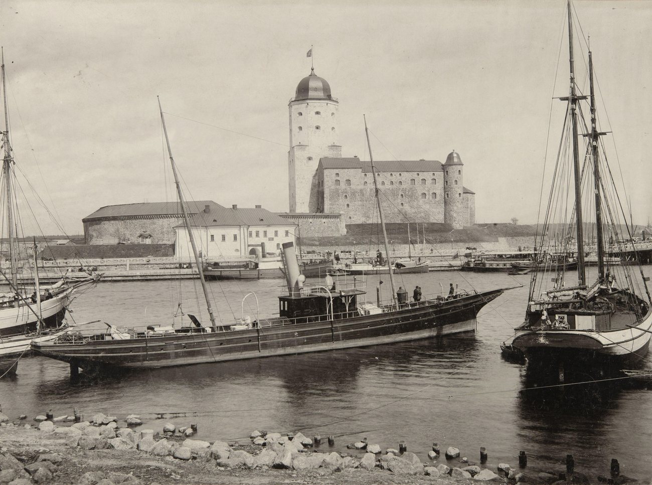
| Vyborg Castle | 1,272 | 1885 |
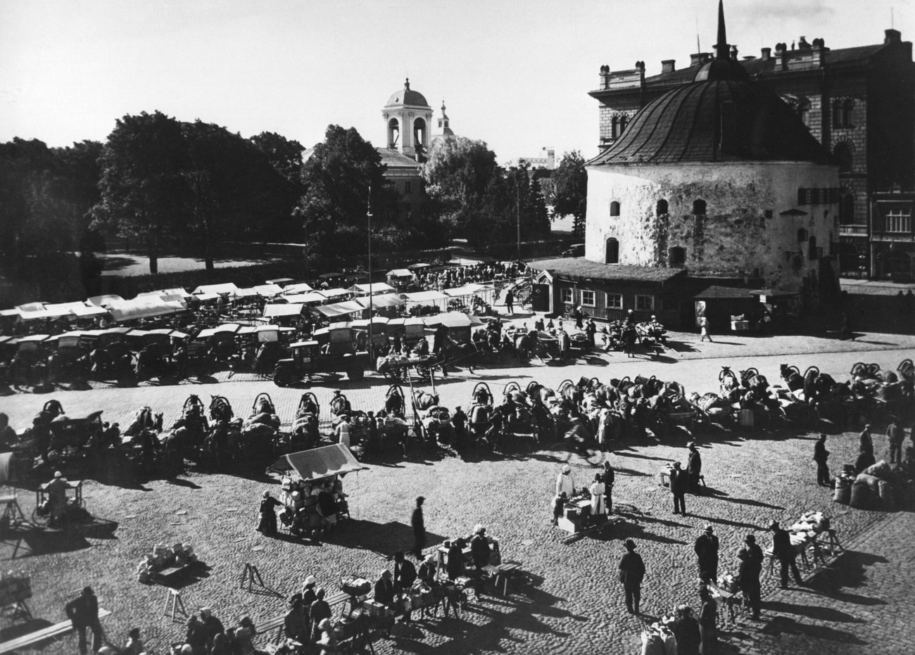
| The Round Tower and Market Square | 876 | 1885 |
| The Clock Tower | 765 | 1892–1894 |
| Red Square | 1,049 | 1900 |
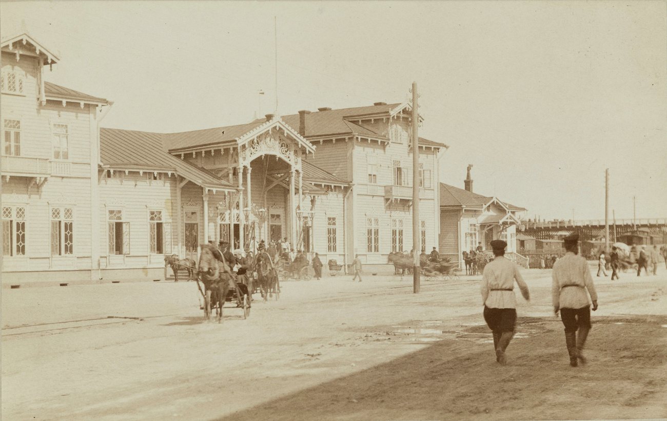
| The railway station | 766 | 1890–1895 |
| The Aalto Library and the old cathedral park | 710 | 1890–1894 |
What changed
Until the Second World War, Vyborg was Viipuri — part of the Grand Duchy of Finland under the Russian Empire, then, from 1917, of independent Finland. The Winter War ended in March 1940 with its cession to the Soviet Union; Finland took it back in August 1941 and lost it again in June 1944. Its Finnish population was evacuated twice, and the people who settled it after the war were new to it.
The castle, founded by the Swedes in 1293, and the Round Tower on the market square, built between 1547 and 1550, run through the whole archive. The city library Alvar Aalto designed for Viipuri, finished in 1935, came through the war damaged and was restored from the 1990s.
Questions about old photos of Vyborg
Where can I see old photos of Vyborg on a map?
On Time Portal: about 11,000 photographs of Vyborg, each pinned where it was taken, most with the direction the camera faced. The map is free in any browser at map.timeportal.app — photographs from 1955 on need no account — and there is an app for iPhone and iPad.
What is the oldest photograph of Vyborg in the archive?
The oldest precisely dated photograph, from 1863, shows the Villa Marienhoff, seen across the water from Papula hill. 433 of the Vyborg photographs were taken before 1900.
Which years of Vyborg are best covered?
The 1940s, with 2,496 photographs, and the 1930s, with 2,118. 35% of the Vyborg photographs date from 1955 or later.
Open Vyborg on the map
Other cities: Moscow, Saint Petersburg, Kyiv, New York, Berlin, Paris, Amsterdam, Nizhny Novgorod, Prague, Yekaterinburg, Kazan, Stockholm, Kaliningrad, Tbilisi, Tashkent, Odesa, Samarkand, Riga, Rome, Minsk, London, Volgograd, Tallinn. Or search any address on the map, or in the app.
The counts on this page are free to reuse under CC BY 4.0 — credit Time Portal and link here. The photographs are not ours to license: they belong to their photographers and the archives that keep them.