
Old photos · Belarus
Old photos of Minsk
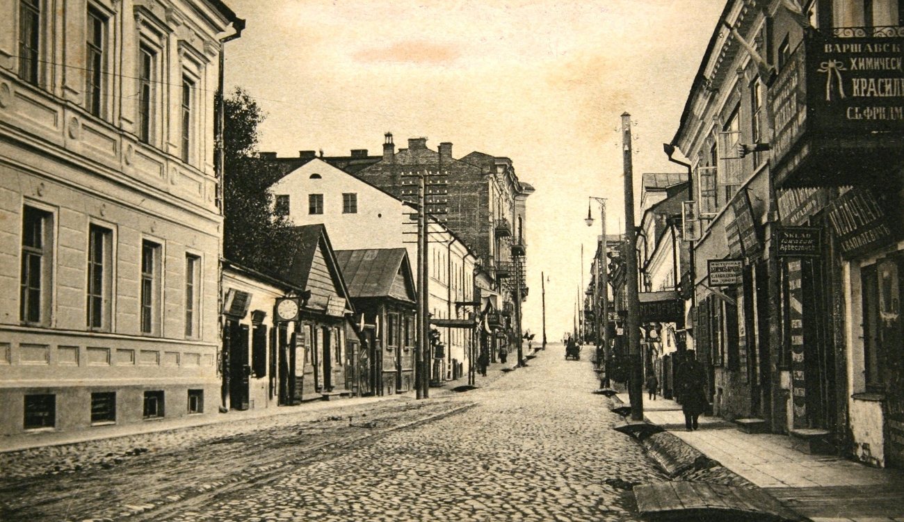
Only about sixty of its photographs date from before 1900, and the city the war destroyed is known here mostly from the 1900s and 1910s; the busiest decade is the 1970s, the Soviet capital built in its place.
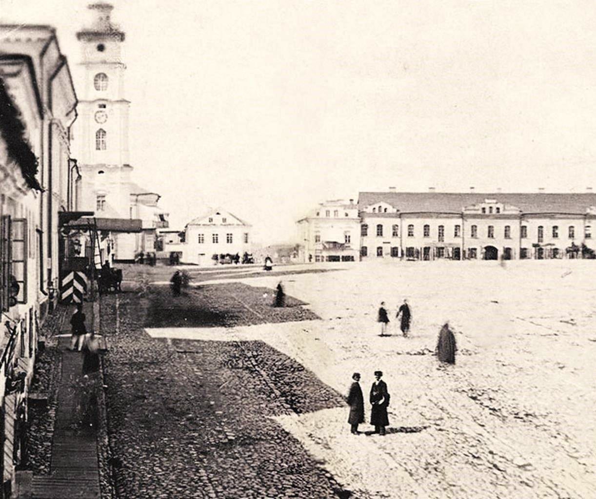
Time Portal's archive holds about 6,600 photographs of Minsk, taken between 1860 and 2000, each pinned to the spot where the photographer stood. 71% of them date from 1955 or later and are free to browse at map.timeportal.app with no account; the older ones open with Pro. The oldest, dated 1860–1863 in the archive, shows the Upper Town, the old centre of Minsk, seen from a distance beyond wooden houses and fences.
- Photographs
- 6,600
- Oldest
- 1860–1863
- Busiest decade
- 1970s
- Free, 1955 on
- 71%
How many photographs, decade by decade
The busiest decades for Minsk are the 1970s and the 1980s — 1,853 and 1,136 photographs. 61 were taken before 1900. Everything from 1955 onward is free to open on the map; the older photographs are part of Pro.
| Decade | Relative size | Photographs |
|---|---|---|
| before 1860 | 0 | |
| 1860s | 11 | |
| 1870s | 3 | |
| 1880s | 3 | |
| 1890s | 44 | |
| 1900s | 210 | |
| 1910s | 316 | |
| 1920s | 91 | |
| 1930s | 191 | |
| 1940s | 668 | |
| 1950s | 823 | |
| 1960s | 930 | |
| 1970s | 1,853 | |
| 1980s | 1,136 | |
| 1990s | 370 |
Where the photographs were taken
Counted in a small square around each place — about 200 metres each way — so a number is every photograph taken there, of the place itself or of the street beside it. Each place opens the map on that spot.
| Place | Photos | Oldest |
|---|---|---|
| Independence Square | 385 | 1908 |
| The Upper Town and Freedom Square | 637 | 1864–1866 |
| The Trinity Suburb | 73 | 1918 |
| Victory Square | 286 | 1945 |
| The railway station | 253 | 1905–1910 |
| Nemiga | 235 | 1909 |
What changed
Minsk came out of the Second World War in ruins: when the Red Army returned on 3 July 1944, most of the centre had been destroyed. A few blocks of the Upper Town and the Trinity Suburb were left, and the Trinity Suburb was rebuilt as an old quarter in the 1980s.
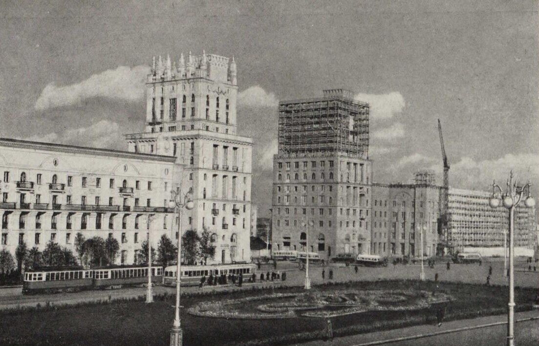
The new Minsk was built to a single plan, along a broad avenue of Stalin-era buildings — today's Independence Avenue — running from the square before the House of Government, one of the few large buildings to survive, to Victory Square, where the obelisk was unveiled in 1954.
Questions about old photos of Minsk
Where can I see old photos of Minsk on a map?
On Time Portal: about 6,600 photographs of Minsk, each pinned where it was taken, most with the direction the camera faced. The map is free in any browser at map.timeportal.app — photographs from 1955 on need no account — and there is an app for iPhone and iPad.
What is the oldest photograph of Minsk in the archive?
The oldest precisely dated photograph, from 1860–1863, shows the Upper Town, the old centre of Minsk, seen from a distance beyond wooden houses and fences. 61 of the Minsk photographs were taken before 1900.
Which years of Minsk are best covered?
The 1970s, with 1,853 photographs, and the 1980s, with 1,136. 71% of the Minsk photographs date from 1955 or later.
Open Minsk on the map
Other cities: Moscow, Saint Petersburg, Kyiv, New York, Berlin, Paris, Amsterdam, Nizhny Novgorod, Prague, Yekaterinburg, Kazan, Stockholm, Vyborg, Kaliningrad, Tbilisi, Tashkent, Odesa, Samarkand, Riga, Rome, London, Volgograd, Tallinn. Or search any address on the map, or in the app.
The counts on this page are free to reuse under CC BY 4.0 — credit Time Portal and link here. The photographs are not ours to license: they belong to their photographers and the archives that keep them.