
Old photos · Russia
Old photos of Volgograd
Its busiest decade is the 1940s: the Battle of Stalingrad and the ruins it left, between Tsaritsyn before it and the Soviet city rebuilt after.
Time Portal's archive holds about 6,200 photographs of Volgograd (Stalingrad, Tsaritsyn), taken between 1870 and 2000, each pinned to the spot where the photographer stood. 53% of them date from 1955 or later and are free to browse at map.timeportal.app with no account; the older ones open with Pro. The oldest, dated 1870 in the archive, shows the house built for the railway's employees on the square in front of Tsaritsyn station.
- Photographs
- 6,200
- Oldest
- 1870
- Busiest decade
- 1940s
- Free, 1955 on
- 53%
How many photographs, decade by decade
The busiest decades for Volgograd are the 1940s and the 1960s — 1,467 and 1,045 photographs. 160 were taken before 1900. Everything from 1955 onward is free to open on the map; the older photographs are part of Pro.
| Decade | Relative size | Photographs |
|---|---|---|
| before 1860 | 0 | |
| 1860s | 2 | |
| 1870s | 25 | |
| 1880s | 33 | |
| 1890s | 100 | |
| 1900s | 130 | |
| 1910s | 165 | |
| 1920s | 220 | |
| 1930s | 399 | |
| 1940s | 1,467 | |
| 1950s | 759 | |
| 1960s | 1,045 | |
| 1970s | 1,040 | |
| 1980s | 720 | |
| 1990s | 86 |
Where the photographs were taken
Counted in a small square around each place — about 300 metres each way — so a number is every photograph taken there, of the place itself or of the street beside it. Each place opens the map on that spot.
| Place | Photos | Oldest |
|---|---|---|
| Mamayev Kurgan | 700 | 1943 |
| The Square of the Fallen Fighters | 1,356 | 1875 |
| Pavlov's House and the Gerhardt Mill | 336 | 1932 |
| The railway station | 261 | 1875 |
| The Central Embankment | 445 | 1909–1912 |
| The Tractor Factory | 17 | 1936 |
What changed
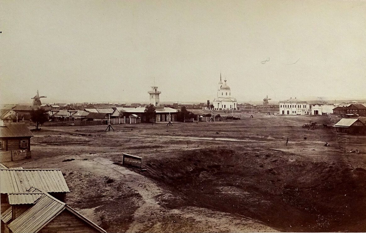
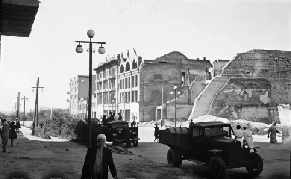
The city was Tsaritsyn until 1925, Stalingrad until 1961 and Volgograd since. From August 1942 to February 1943 the battle for it destroyed almost all of the centre, and the archive keeps the ruins as they were left — among them the Gerhardt mill, kept roofless to this day as a memorial, beside the house Sergeant Yakov Pavlov's men held for two months.
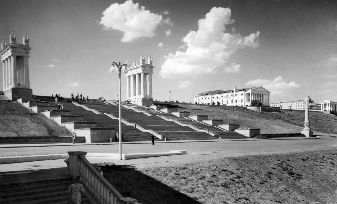
Stalingrad was rebuilt to a new plan, with avenues of Stalin-era buildings and a grand staircase down to the Volga embankment, finished in 1952. On Mamayev Kurgan, the hill fought over for months, the memorial ensemble with The Motherland Calls was completed in 1967.
Questions about old photos of Volgograd
Where can I see old photos of Volgograd on a map?
On Time Portal: about 6,200 photographs of Volgograd, each pinned where it was taken, most with the direction the camera faced. The map is free in any browser at map.timeportal.app — photographs from 1955 on need no account — and there is an app for iPhone and iPad.
What is the oldest photograph of Volgograd in the archive?
The oldest precisely dated photograph, from 1870, shows the house built for the railway's employees on the square in front of Tsaritsyn station. 160 of the Volgograd photographs were taken before 1900.
Which years of Volgograd are best covered?
The 1940s, with 1,467 photographs, and the 1960s, with 1,045. 53% of the Volgograd photographs date from 1955 or later.
Open Volgograd on the map
Other cities: Moscow, Saint Petersburg, Kyiv, New York, Berlin, Paris, Amsterdam, Nizhny Novgorod, Prague, Yekaterinburg, Kazan, Stockholm, Vyborg, Kaliningrad, Tbilisi, Tashkent, Odesa, Samarkand, Riga, Rome, Minsk, London, Tallinn. Or search any address on the map, or in the app.
The counts on this page are free to reuse under CC BY 4.0 — credit Time Portal and link here. The photographs are not ours to license: they belong to their photographers and the archives that keep them.