
Old photos · United States
Old photos of New York
Unlike the European cities here, New York's photographs are mostly old: the 1920s and 1930s are its busiest decades, and fewer than one in five dates from 1955 or later.
Time Portal's archive holds about 33,000 photographs of New York, taken between 1849 and 2000, each pinned to the spot where the photographer stood. 17% of them date from 1955 or later and are free to browse at map.timeportal.app with no account; the older ones open with Pro. The oldest, dated 1849 in the archive, shows the W. Zinsser & Co. varnish works on West 58th Street.
- Photographs
- 33,000
- Oldest
- 1849
- Busiest decade
- 1920s
- Free, 1955 on
- 17%
How many photographs, decade by decade
The busiest decades for New York are the 1920s and the 1930s — 9,296 and 7,627 photographs. 1,414 were taken before 1900. Everything from 1955 onward is free to open on the map; the older photographs are part of Pro.
| Decade | Relative size | Photographs |
|---|---|---|
| before 1860 | 30 | |
| 1860s | 59 | |
| 1870s | 145 | |
| 1880s | 292 | |
| 1890s | 888 | |
| 1900s | 2,170 | |
| 1910s | 2,932 | |
| 1920s | 9,296 | |
| 1930s | 7,627 | |
| 1940s | 2,336 | |
| 1950s | 1,611 | |
| 1960s | 1,096 | |
| 1970s | 2,627 | |
| 1980s | 749 | |
| 1990s | 676 |
Where the photographs were taken
Counted in a small square around each place — about 250 metres each way — so a number is every photograph taken there, of the place itself or of the street beside it. Each place opens the map on that spot.
| Place | Photos | Oldest |
|---|---|---|
| Times Square | 584 | 1878 |
| The Brooklyn Bridge | 117 | 1873–1877 |
| The Empire State Building | 402 | 1930 |
| Wall Street | 390 | 1864 |
| Grand Central Terminal | 426 | 1870 |
| The World Trade Center | 618 | 1967 |
What changed
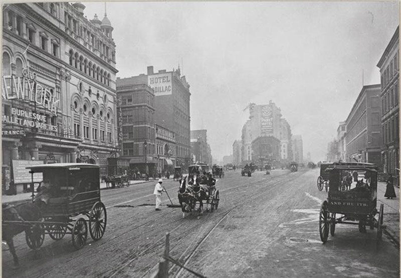
New York in this archive is mostly Manhattan, and mostly the first half of the twentieth century: the city of the elevated railways, the first skyscrapers, and the Longacre Square that became Times Square in 1904. The elevated lines over Sixth and Ninth Avenues came down in 1939 and 1940, and the original Pennsylvania Station was demolished from 1963.
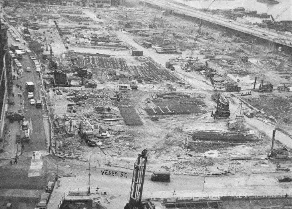
At the south-western tip, the blocks of small electronics shops known as Radio Row were cleared from 1966 for the World Trade Center, whose towers stood from the early 1970s until 11 September 2001.
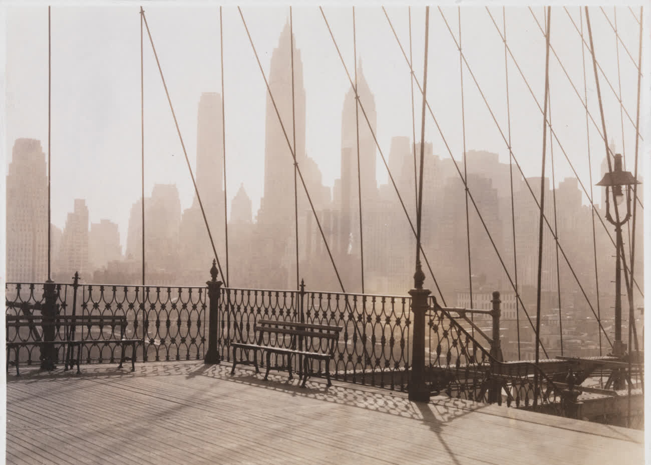
Questions about old photos of New York
Where can I see old photos of New York on a map?
On Time Portal: about 33,000 photographs of New York, each pinned where it was taken, most with the direction the camera faced. The map is free in any browser at map.timeportal.app — photographs from 1955 on need no account — and there is an app for iPhone and iPad.
What is the oldest photograph of New York in the archive?
The oldest precisely dated photograph, from 1849, shows the W. Zinsser & Co. varnish works on West 58th Street. 1,414 of the New York photographs were taken before 1900.
Which years of New York are best covered?
The 1920s, with 9,296 photographs, and the 1930s, with 7,627. 17% of the New York photographs date from 1955 or later.
Open New York on the map
One place in New York, across a century: The Twin Towers: New York Then & Now. Other cities: Moscow, Saint Petersburg, Kyiv, Berlin, Paris, Prague, Tbilisi, Odesa, Riga, Rome, London. Or search any address on the map, or in the app.
The counts on this page are free to reuse under CC BY 4.0 — credit Time Portal and link here. The photographs are not ours to license: they belong to their photographers and the archives that keep them.